REMOTE SENSING AND DRONE SURVEYS
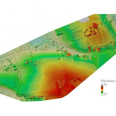
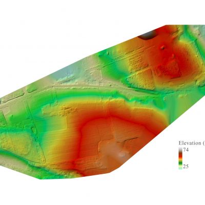
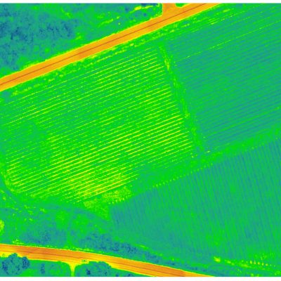
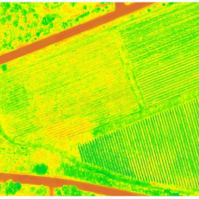
Orix Geoscience Inc. is a team of dedicated geoscience experts providing services to the Viticulture, Forestry, Agriculture, and Mining industries. Our team can produce a multitude of data products and analyses to help you better understand your property. With vegetation indices, digital elevation models, 3D models, and high resolution RGB/multispectral imagery, we can elevate your knowledge of the ground beneath your feet.


